How do I know where I can cycle?
Knowing the difference between a pavement for pedestrians only, and a path where pedestrians share the space with cycles can be tricky – especially where there are few clues.
All the cycle paths in Swindon are marked on the Swindon Cycle map (they are shown as a solid orange line where the path is traffic free, and a dotted line for recommended routes that are on-road). If you don’t have a map to hand, then there should be signs and markings on the routes themselves to help you.
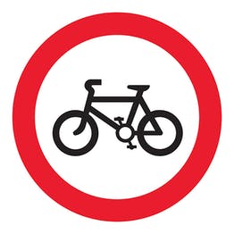
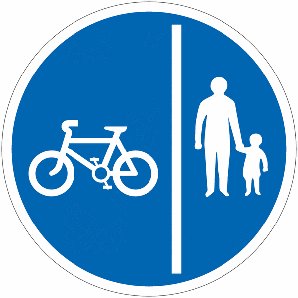
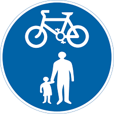
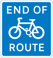
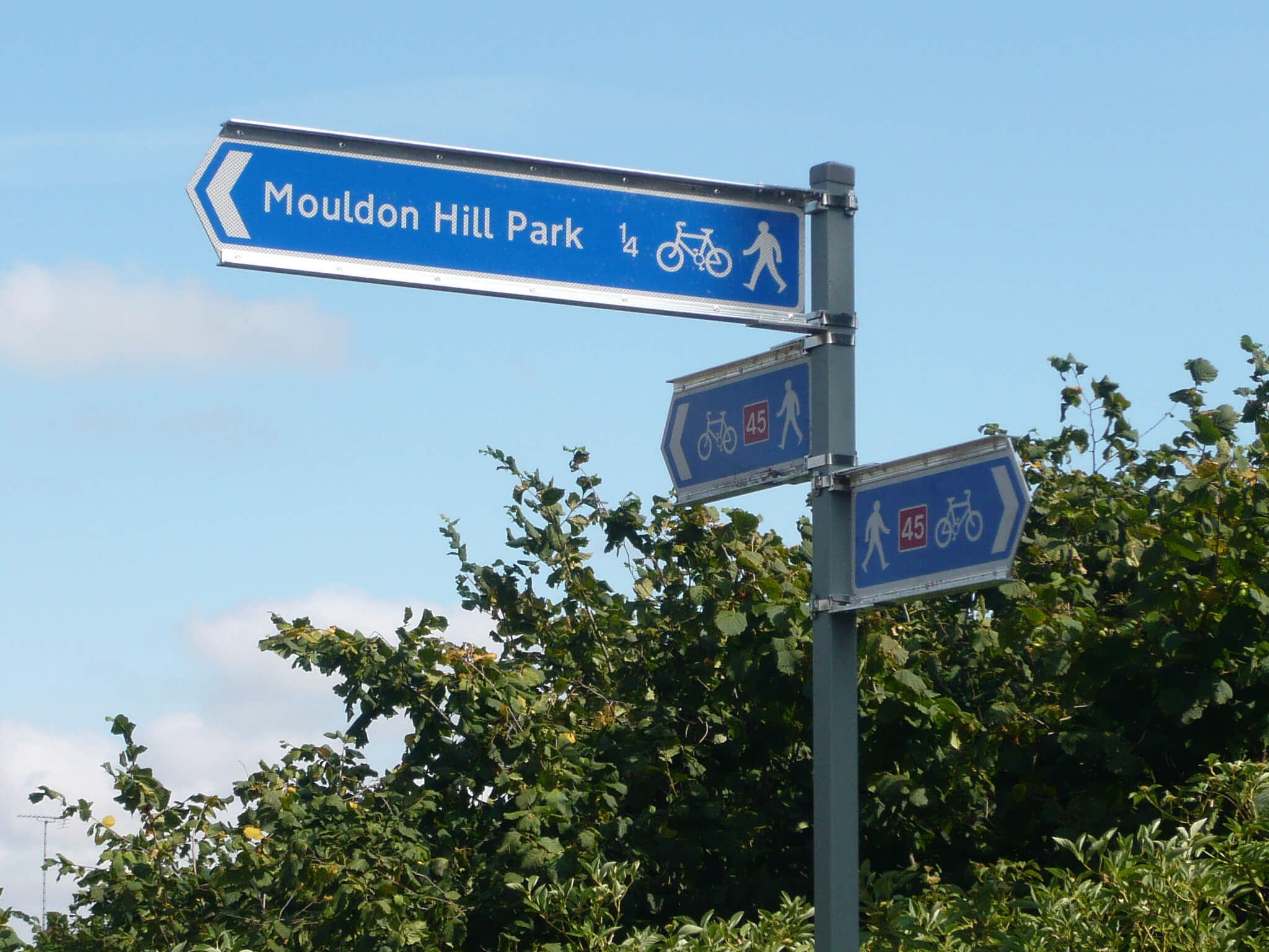
Look out for the following signs;