**If you are looking for information about the Active Swindon Challenge and app, which operated in 2022, please see this page : Active Swindon Challenge.
If you are looking for information about the Swindon Summer Trails Challenge, which operated in 2024, please see this page: Swindon Summer Trails**
Looking for the prize draw entry form? Jump to the form!
Active Swindon Trails Challenge
About the Challenge
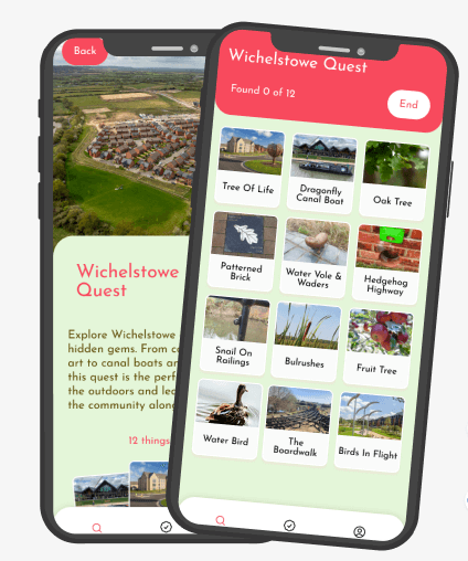
Since July 2025 we have been launching short walking trails around Swindon for you to explore all year round. There are three trails launched per “season” and for each trail you complete, you can collect a badge and enter the prize draw.
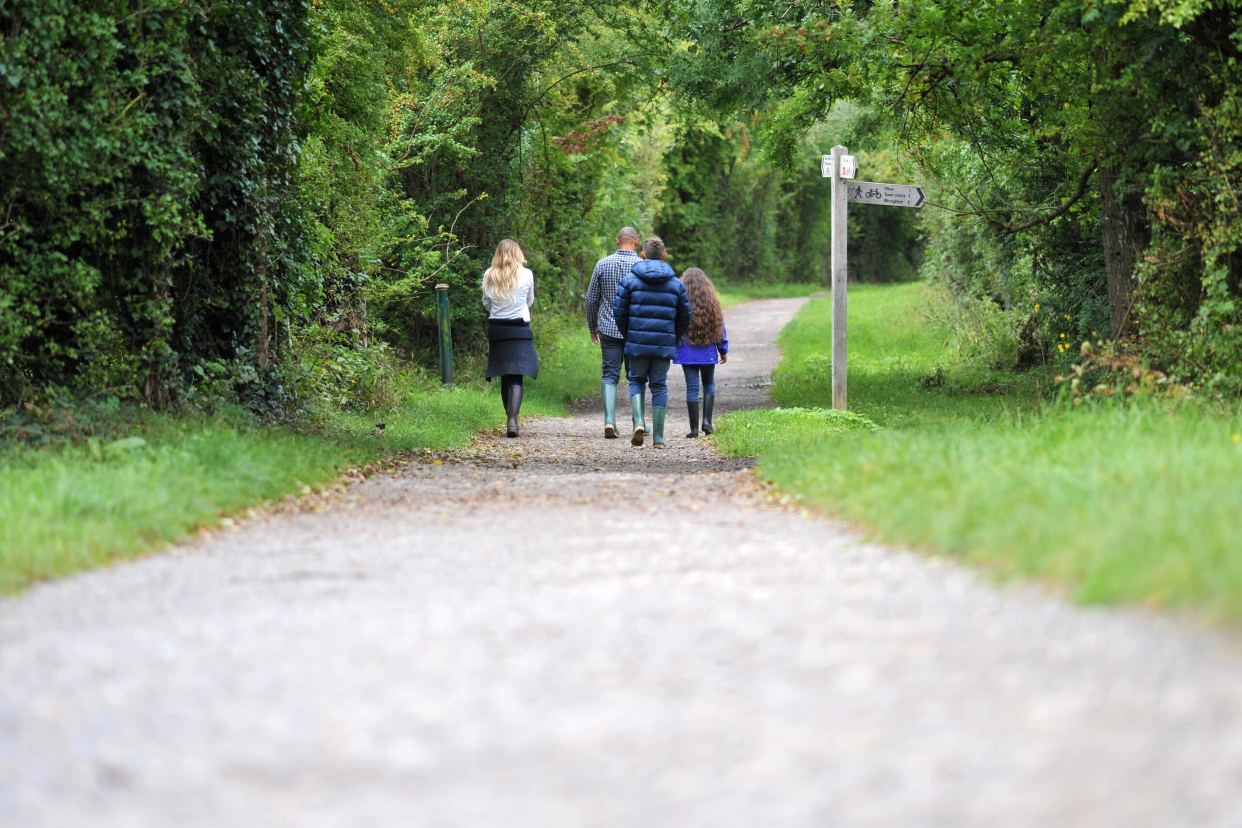
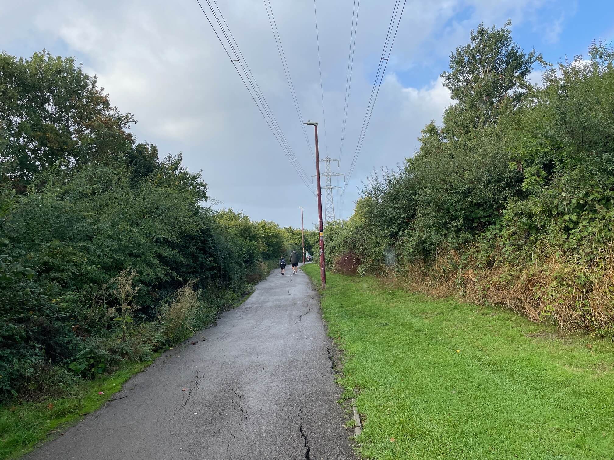
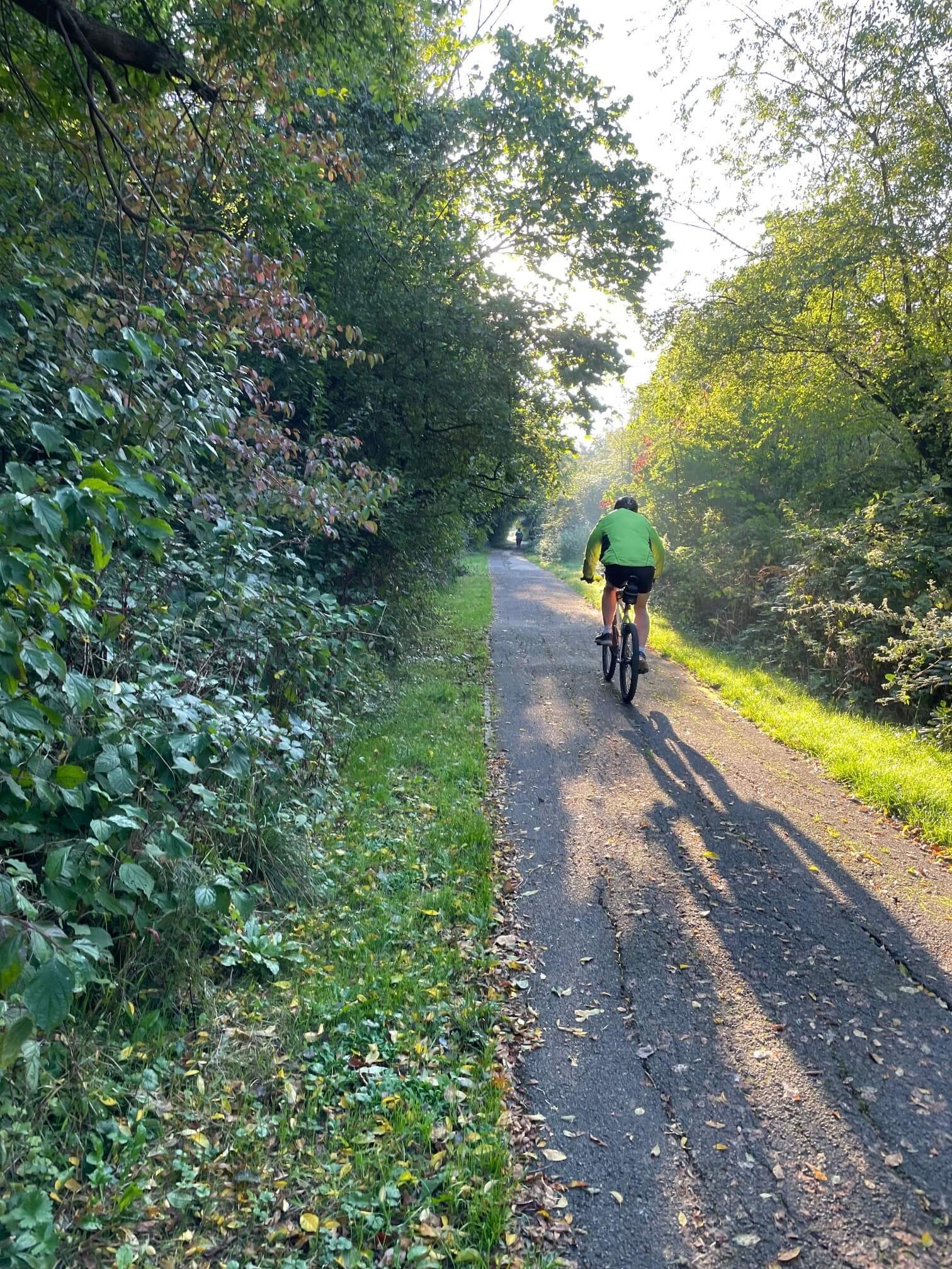
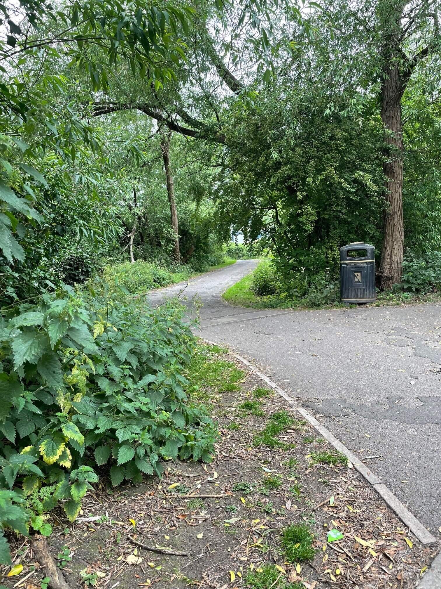
The trails, which are all between one and three miles long, will take you to some great local arts, heritage and historical sites, as well as places of natural beauty. There’s a limited edition badge available for the first 100 people to complete each challenge, while for every trail you complete, you will gain an entry into our grand prize draw.
Wherever possible, the routes have been designed to be accessible, with alternative suggestions provided if this is not the case. Details for getting to the start of each of the walks by public transport will also be provided.
Getting started
Each season we will officially launch 3 trails. You can download the season’s trail leaflet from this website (below) shortly before the launch day each season. Hard copies are also available at Swindon’s Central Library, West Swindon Library, North Swindon library, Park Library and Highworth Library. They will also be available at that season’s partner locations (where trails start and / or end).
From Jan 1st 2026 – March 31st 2026 we will be in the Winter season and the partner locations are:
- Steam Museum
- Central Library
- West Swindon Library
From April 1st 2026 – June 30th 2026 we will be in the Spring season and the partner locations are:
- The Ellendune Centre, Wroughton
- Forest cafe, Lydiard Park
Complete the trails each season, collecting badges and entering the prize draw as you accomplish each one. At the end of each season, we will pick the lucky winners in the prize draw.
Please be aware that the trails have all been walked and tested, but you walk the trails at your own risk.
Prizes
One lucky winner each season will receive £100 supermarket voucher in the grand prize draw, whilst 5 runners up will win smaller prizes for each trail – choosing from t-shirts, STEAM family passes, walking books, GWR rail voucher and plush soft toys.
The Trails
The three WINTER trails (1st Jan – 31st March 2026) are:
1) Around Swindon’s Railway Village (The Bear Trail)
2) West Swindon (The Westie trail)
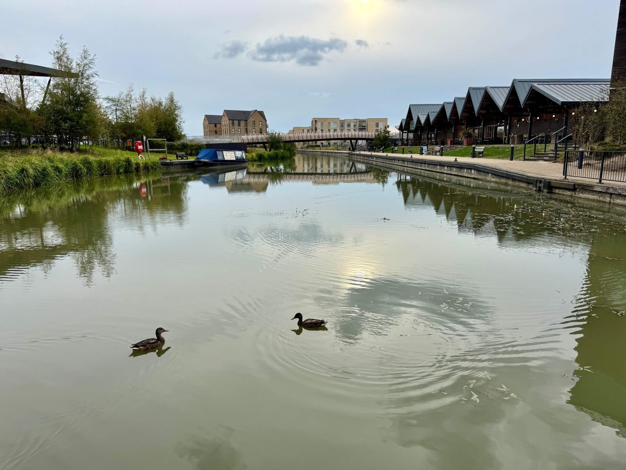
3) Along the canal from Wichelstowe (The Dragonfly Trail)
The three SPRING trails (1st April – 30th June 2026) are:
1) The Kite Trail – Wanborough
2) The Pony Trail – Wroughton
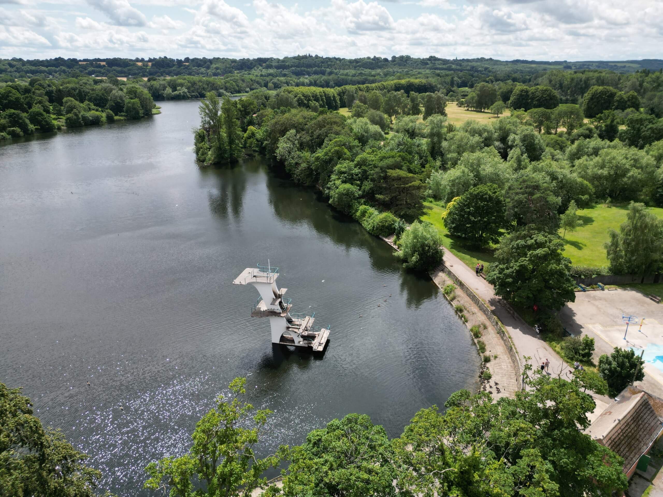
3) The Squirrel Trail, Lydiard Park