Helping you make the right travel choices in Swindon
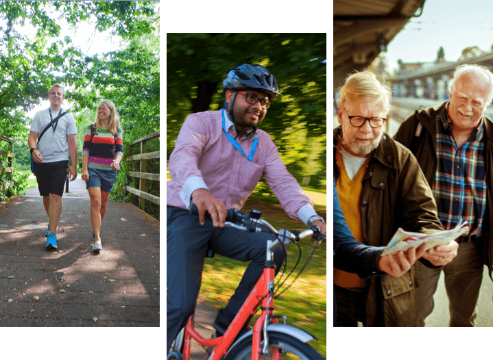
Swindon has many different types of short, circular, traffic-free routes to cycle, walk or jog around.
Check out our maps
We all have our part to play…
#travelmadesimple@Swindon_Travel